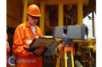
Thanks to URBICA's 3D laser surveying services, most of the dimensional checks previously entrusted to surveyors can be carried out quickly and with great accuracy.
Each request is unique, and each measurement can be interpreted differently depending on the information required: angle, slope, volume, deformation, difference, gap, depth, flatness, etc. URBICA's specialists are committed to providing reports that are readable and accessible even to the uninitiated.
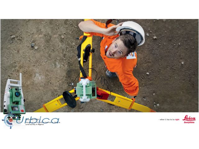
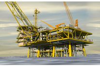
URBICA has the capacity to react to any urgent intervention, on all 5 continents.
URBICA's advantages
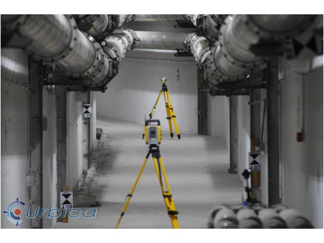
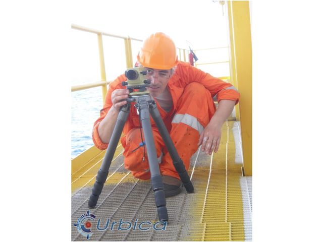
URBICA has a complete range of the latest generation of topographic devices: 3D scanner, theodolite, level, GPS, etc.
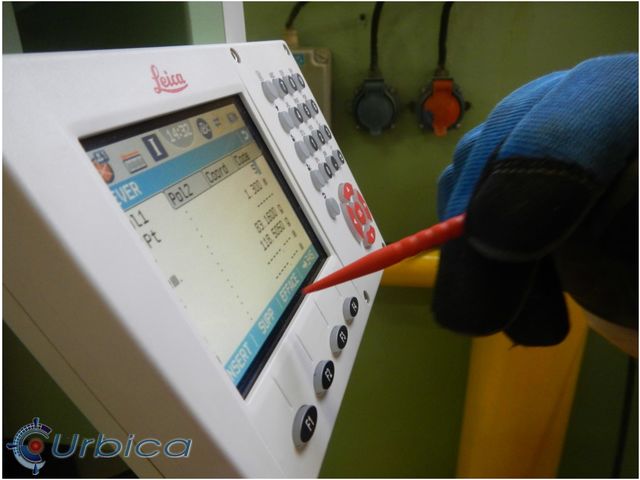
The calibration of the devices used is checked before each intervention.
Examples of applications carried out
URBICA's team of surveyors regularly proposes :
-
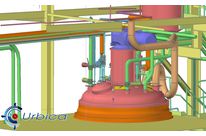
Control of parts/modules at the end of the manufacturing process
-
Actual dimensioning of pipe diameter and length (or frame)
-
Deformation inspection / gaps between two successive states
-
Comparison between actual and theoretical states
-
Study of collisions between project and reality (new lines, equipment, packaging)
-
Measurements of capacity, volume, cubature (inventory, bulk storage)
-
Highlighting of flatness, verticality, direction of flow
-
3D mesh generation of tunnels, galleries, cavities, relief terrains
-
Production of deviation maps, deformation curves, regular profiles
-
Topographic plan, section, ground plan, building plan, facade plan, cadastre, etc.